VSP
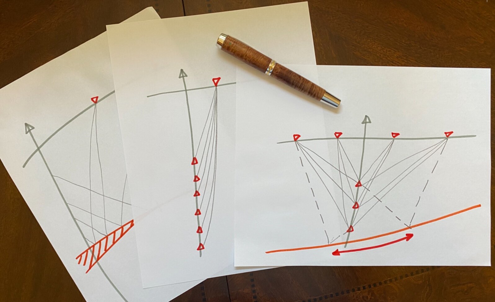
A Vertical Seismic Profile (VSP) is a borehole seismic survey which employs a seismic source at the surface and an array of three component receivers in the well. There are many configurations of VSP depending on the relative position and number of sources and receivers. Each VSP type has specific applications.
The type of VSP appropriate for a project is dependent on the project objectives. The zero offset VSP is the most commonly acquired, and provides valuable information for well tie, phase control, time depth correlation and surface seismic processing optimization.

VSP Project Design
Any type of VSP is a complex and costly wellsite operation and should only be conducted as a result of a thorough and complete project design phase. The most critical aspect of this phase is a clear understanding of the projects objectives and the associated success criteria. Some of the many considerations are given below and in all cases would likely include some for of ray trace modeling and generation of synthetic waveforms.
Project Objectives
Surface seismic correlation
Look ahead of the bit, to provide information to hit or avoid targets, and predict over-pressure
Fracture orientation (HTI)
Identify offset or missed targets
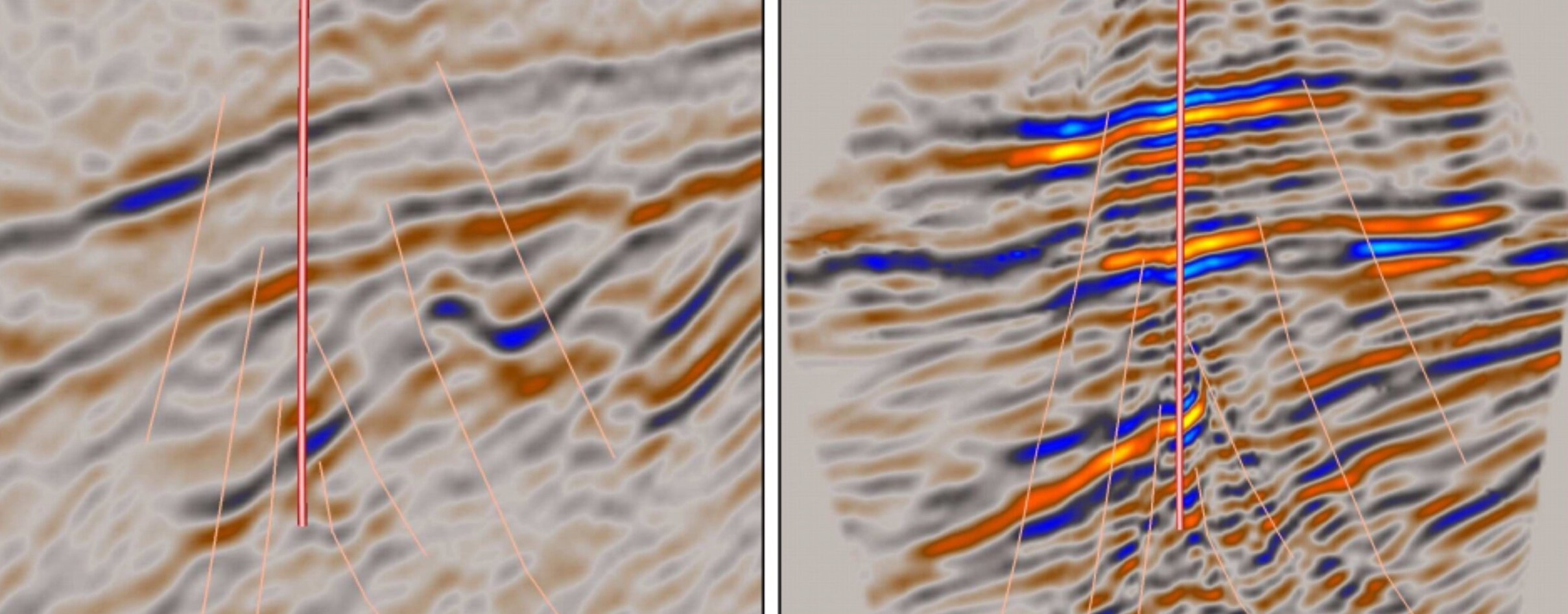
Provide higher resolution reservoir description away from the wellbore, locate reservoir sweet spots, fractures, and compartments. Particularly useful for designing sidetrack or horizontal wellbores
Interval velocities, precise time-depth relationship and improved velocity model
Input to calibrated surface seismic processing and re processing utilizing guided pre stack velocity picking, Q analysis, multiple prediction, VTI parameterisation.
Shear wave analysis, phase matching, direct measures of AVO and anisotropy
Project Considerations
What are the objectives ? Is there a choice of well ? Which is preferable ?
What needs to be done to achieve the objectives ? Will it work ?
Does pre survey modeling support the objectives ?
Where should I place the source ?
Which source should I use, how many or how big ?
Do I need to permit ?
Which receiver array should be used and why ?
What depth so I start and what depth spacing is best ?
How long will it take ?
How is the wellbore prepared ?
What are the operational risks ?
When will it be done ? Nighttime operations ?

VSP Project Implementation
This phase of the project includes the acquisition of the primary data and the post job reporting and archiving, a crucial step to ensure the data processor has all required information and that if necessary the information is recoverable at a later data for re processing and/or trading.
Data Acquisition
Acquisition of a VSP can take anywhere from a few hours to a few days. Independent project oversight and real time data QC are imperative.
Many operators who do not have significant experience with VSP acquisition benefit from an independent birddog overseeing the operation of their behalf.
Service companies are moving more towards a remote operations model whereby the acquisition is managed by an engineering a remote center.
Validating well site geometry (source positions, elevations etc), clear and concise reporting of the acquisition timeline, environmental observations (potentially relevant to noise levels) and HSE observance are all critical elements contributing to the overall success of the project.
Post Job
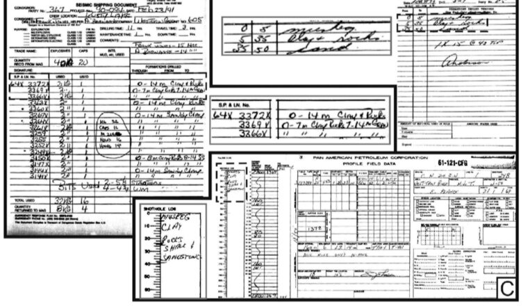
Clear and complete observer logs are key to the success of any project.
Correctly filled trace headers and survey data can avoid processing delays and errors.

VSP Data Processing
As service companies strive to reduce costs, VSP data processing is being increasingly performed in remote processing centers. This can be problematic with a loss of local expertise and poorly communicated project objectives. Furthermore there can be a tendency for a cookie cutter approach to processing parameterization.
Careful parameter testing and close liaison with the client are key factors for the optimization of the processing phase.
Processing Considerations
Are the processing objective clear and consistent with the overall project objectives ?
Which datum should be used ? Which display scales are required ?
Is the surface seismic available for comparison during processing ?
Are all required well logs available ?
Have a clear set of processing deliverables been defined ?
Modified from Kuzmiski et al. Processing Considerations for 3D VSP. April 2009, CSEG Recorder.

Interpretation & Integration
A suitably acquired and processed VSP data should be completely aligned with the project objectives and be able to deliver the required information and insight. However this can only be possible if it is incorporated and presented to the client in a clear and consistent manner. Help is often needed in reviewing and explain the final deliverable, what it is and as importantly what it isn’t. Ensuring images and the like are loaded correctly both in time (datum) and space (CRS).
The investment a client makes in a VSP can be undone with poor data delivery, a report on a shelf and data in an archive have little value. An image, corridor stack or other VSP derived parameters can have significant value when fully embedded into a clients earth models and workflows.
Reservoir Geophysics in Brazilian Pre-Salt Oilfields. Paulo Johann et al, OTC 23681, 2012


